Monitored site · updated 2026-10-01
Project Jupiter
Oracle · STACK · BorderPlexDoña Ana County, New Mexico, United States
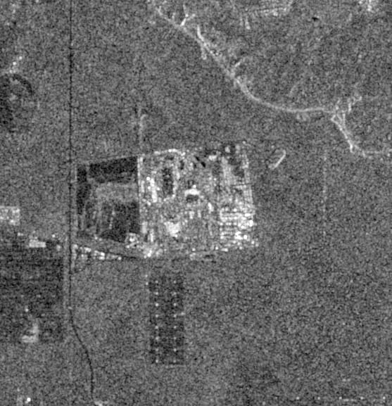
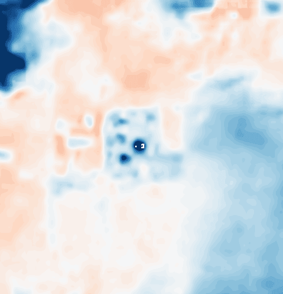
The latest of 64 Sentinel-1 radar passes over this site. Bright returns are hard edges and metal: steel frames, roofs, plant. The thermal layer is surface temperature against the surrounding land: red is warmer than its surroundings, blue is cooler. Running buildings and fresh concrete show up warm. The full history of both is in the dossier.
Construction signal
A number read off every radar pass. Radar bounces back far more strongly from steel, concrete and machinery than from bare ground. Each time the satellite passes, we measure how much brighter the site is than the open land around it.
When buildings go up, the line climbs; when work stalls, it flattens. Passes are only compared with others flown along the same orbit, so a change has to show up the same way twice before we call it.
Illustration. This site’s own series is in the full dossier.
On file
- Latest satellite pass
- 2026-10-01 · Sentinel-1
- Passes on file
- 64 since 2025-09-24
- Permits & county records
- None linked yet
- Companies
- Oracle, STACK, BorderPlex
- Location
- Doña Ana County, New Mexico, United States
- Coordinates
- 31.8183, -106.6660
- Area watched
- 32.3 km²
Latest news
Permits & county records
What the full dossier adds
- Pass-by-pass history
All 64 passes on a timeline, with the construction signal plotted orbit by orbit.
- Thermal history
Every day and night thermal reading, laid over the radar frame it was taken nearest to.
- Ground photography
Geotagged photographs from vetted scouts, pinned to the frame with the direction they faced.
- Permits & county records
County permits and parcel records as they are filed.
- The full news & filings feed
Every story and filing matched to the site, clustered so one story told five times is one row.
Know when Project Jupiter changes.
Follow it for free. We’ll email you when a new pass, story or permit lands.